


Community Forum: Overture Maps-video, slides, notes
The CGIA Community Forum presentation on Overture Maps happened on July 7, 2026. As promised, the slides, notes, and recording…

Community Forum: Overture Maps-video, slides, notes
The CGIA Community Forum presentation on Overture Maps happened on July 7, 2026. As promised, the slides, notes, and recording…
GIS & AI Webinar 4 – xAI: Ethics, Sustainability, and Equity in Social and Collective Settings
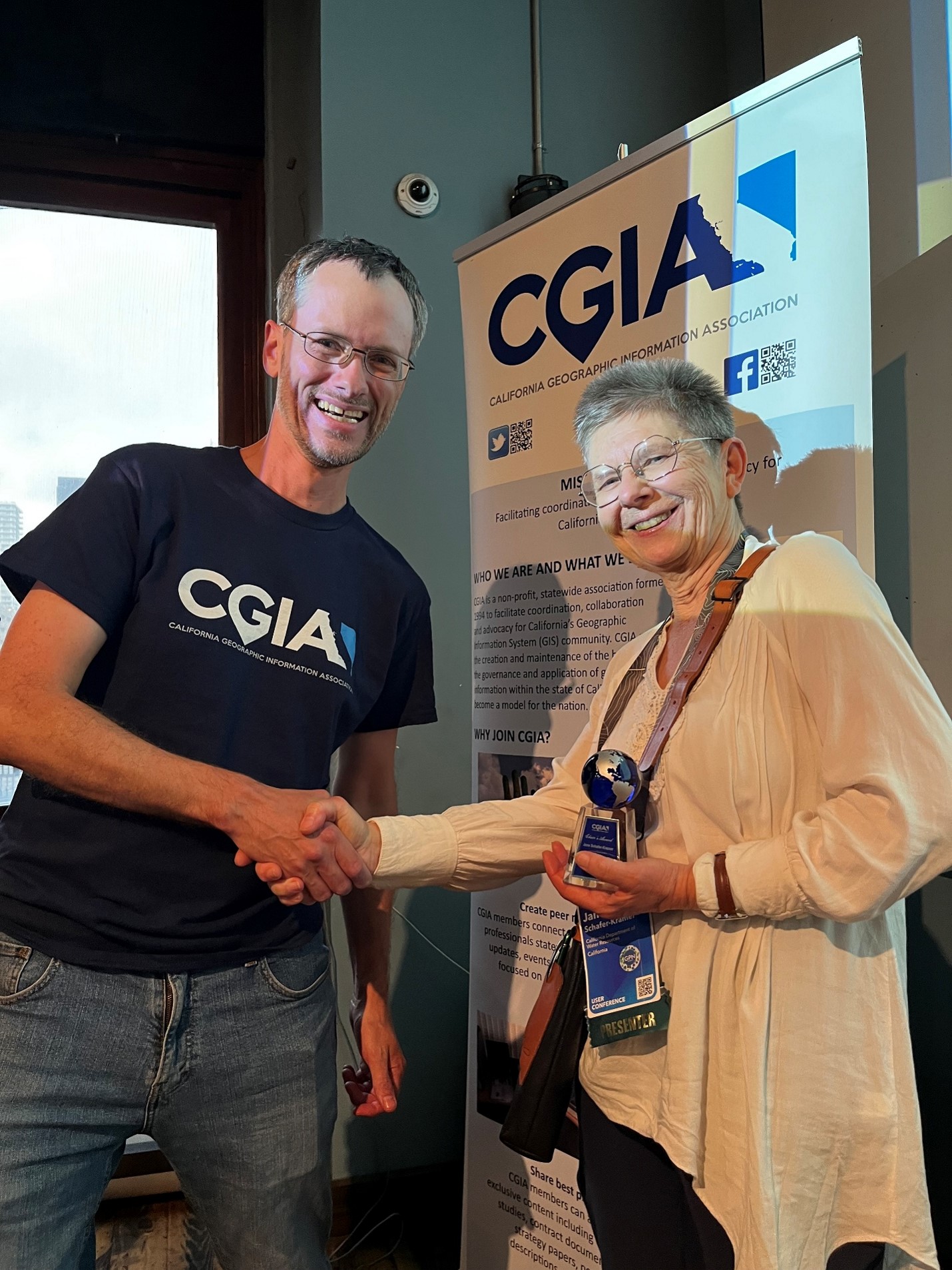
Thank you to all of you who attended the second webinar in our GIS & AI series. If you missed…
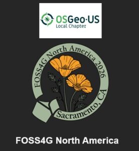
FOSS4G North America 2026 Call for Presentations Extended to 7/20
The Call for Proposals for FOSS4G (Free and Open Source Software for Geospatial) North America 2026 is now open a…